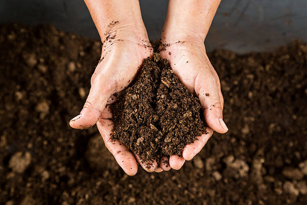
Soil Information System
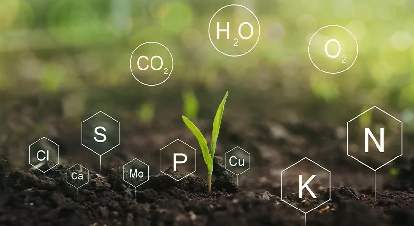
The Soil Information System contains comprehensive data on soil quality and characteristics specific to various regions, districts, sub-districts, and village management zones. This system stores essential information regarding crop suitability, fertility, texture, erosion, drainage, base saturation, and taxonomic classification of soils. The critical advisory information derived from this system is disseminated to users through call centers and by Soil Doctors, who provide expert guidance and recommendations. By leveraging this system, farmers and stakeholders can access valuable insights to make informed decisions regarding soil management and crop productivity.
The increasing salinity area due to rising sea levels and salt movement requires a Quality Monitoring System for problem soils. This system enables better reclamation measures at the farmer's plot level. Additionally, post-reclamation monitoring includes assessing soil quality, water table depth, groundwater quality, and biodiversity.